Dragonfly Trailhead and Cliffhanger Trail - The Colorado River Refuge
In my last blog entry, I documented my experience hiking the Two Bridges Trail in the Colorado River Refuge, located in Bastrop, Texas. It wasn’t until I explored the Morrison River Loop, Cottonwood Kings Trail and the Two Bridges Trail that I realized there was a whole 2 more miles of trail in the refuge, so I decided to head to the Dragonfly Trailhead this time and see where it takes me.
One of the greatest pastimes of Tahitian Village residents is trying to pronounce the names of roads in the area. I’m hard pressed to find someone that can accurately pronounce the name of the road they live on and let me tell you, you do not want to get lost here at night with a dead phone battery (that’s a story for another time).
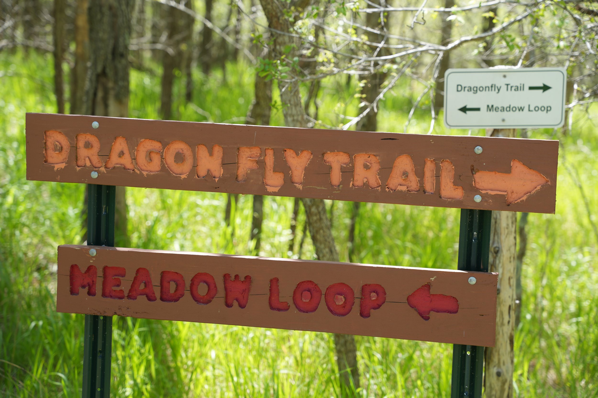
The Dragonfly Trailhead is located at 110-218 Waipahoehoe Dr, Bastrop, TX 78602. According to the voice on my Google Maps, it’s pronounced Why-pah-ho-ee-ho-ee. If you do a quick Google search with the term “dragonfly trailhead bastrop tx” it will show that the trailhead is on Lamaloa Lane, which contradicts this little sign seen here.
If you want the full experience (you may not, for reasons you will learn if you keep reading), start at Lamaloa Lane. If you want to skip 0.7 miles of the trail, follow the sign down the dirt road.
I parked on Waipahoehoe Drive next to the only fire hydrant in the entire mile, which, when I think about it, was probably the only illegal place to park on the entire dirt road. Despite that, I began to walk down Lamaloa Lane with my camera, found the trailhead and proceeded into what I perceived to be an easy jaunt, but I encountered a surprise (several hundred surprises, actually): It’s caterpillar season!
Dragonfly Trailhead Sign
Yellow-Striped Armyworm or Tent Caterpillar
There were hundreds of these critters dangling from their strands of silk all over the trail. I had to duck and dodge for about 200 yards and the wind would often trick me into thinking I had one or five crawling on me, and sometimes it wasn’t a trick and they actually were crawling on me. In fact, even as I’m writing this, I still feel like checking every time I feel a slight draft from the air conditioner. I thought about turning back, but I am so gull-dern dedicated to this hyper professional outdoors adventure blog that I decided to continue so that I could give you all the inside scoop.
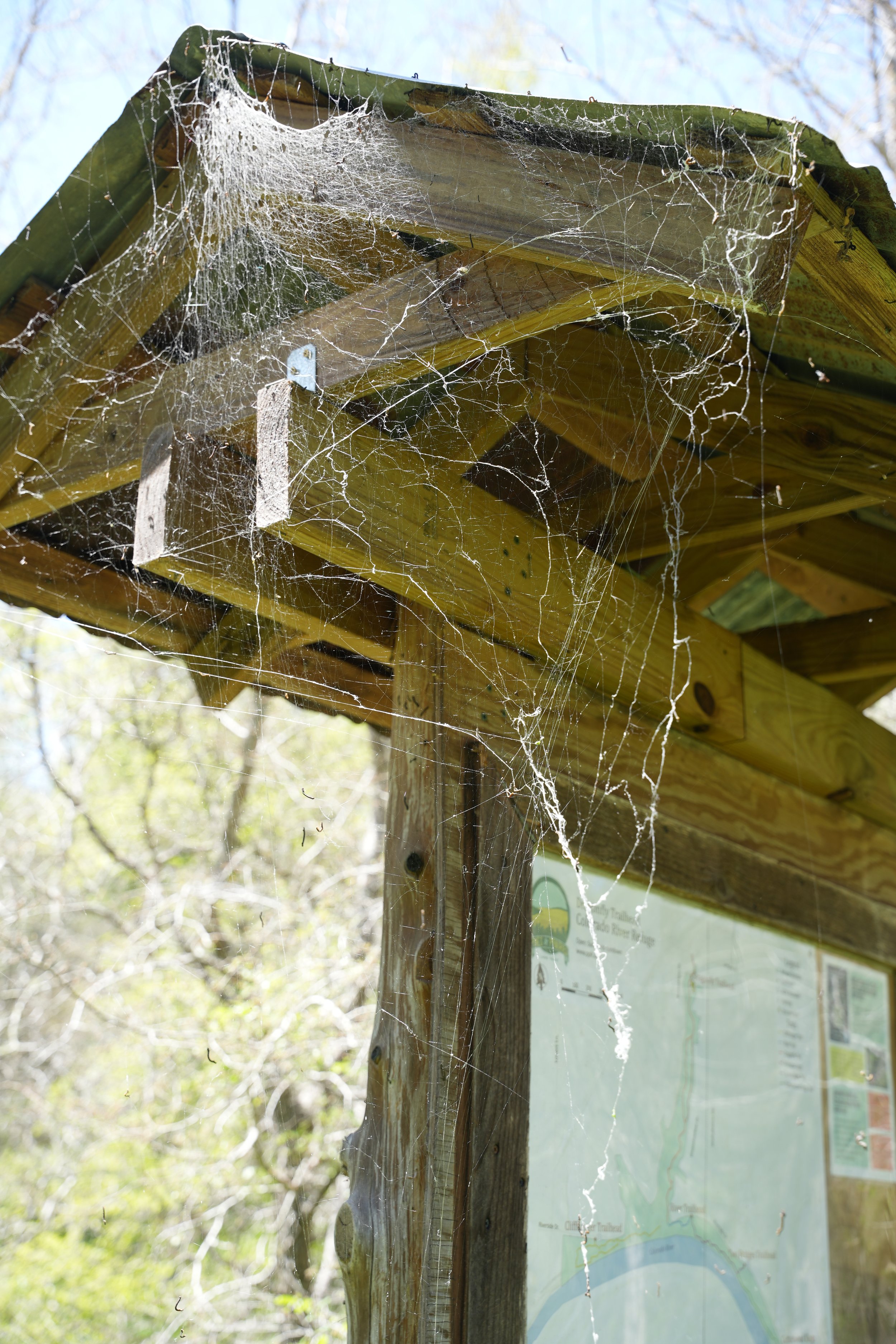
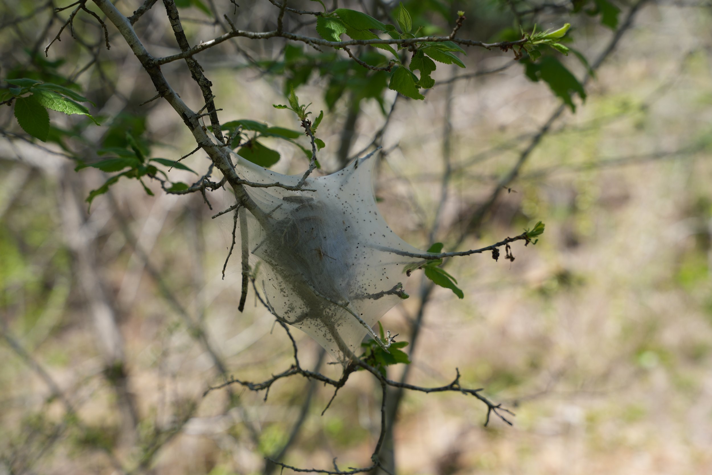
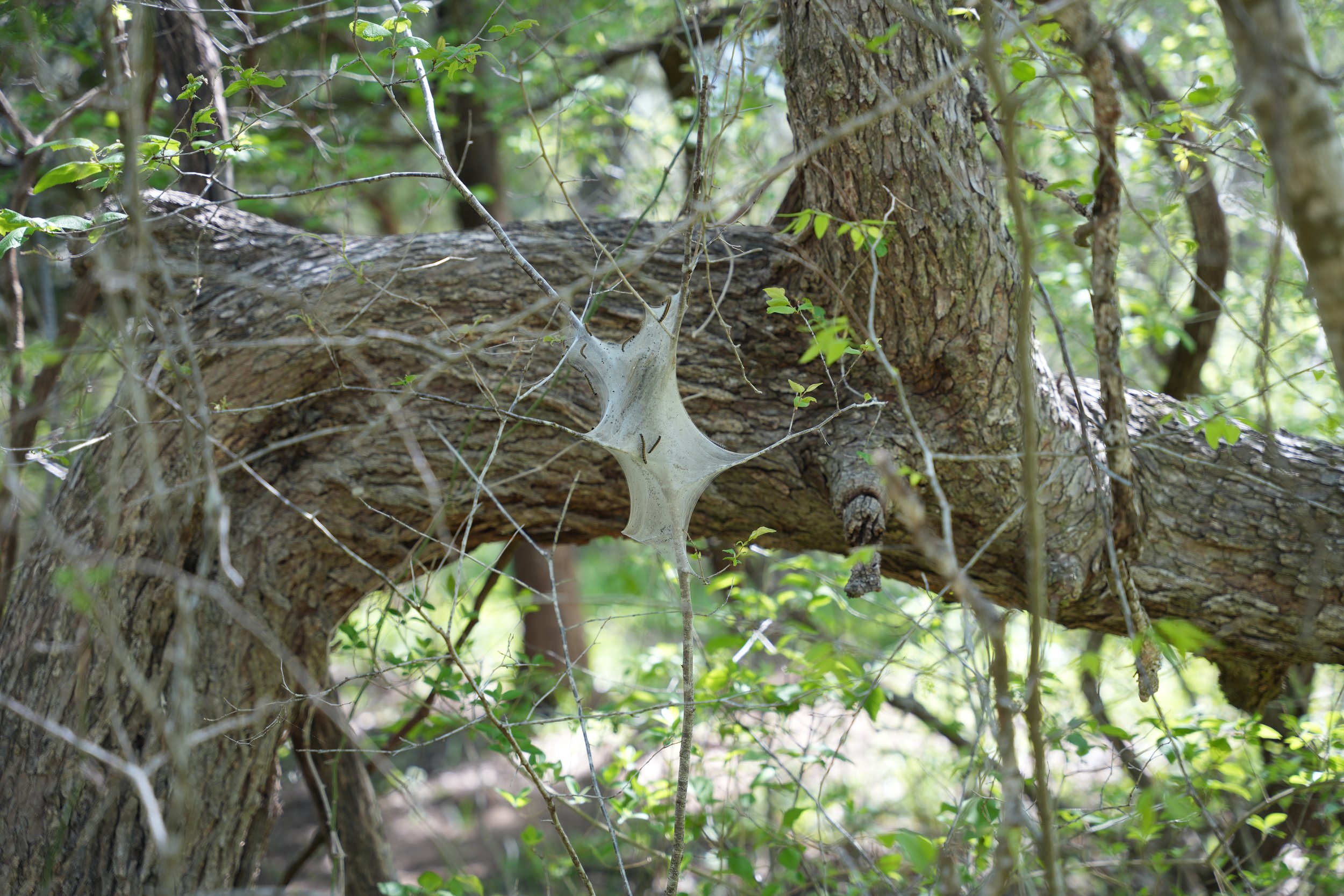
These are probably the most extreme takeovers I encountered . There were several web nests like the ones seen below.
Here is a great resource for identifying the 122 known caterpillars in the State of Texas, it even shows the beautiful butterflies and moths they will eventually transform into. From my estimation, these little crawlers appear to be the Yellow-Striped Armyworm. I think it’s even more unsettling, now that I know it was actually worms that were crawling on me.
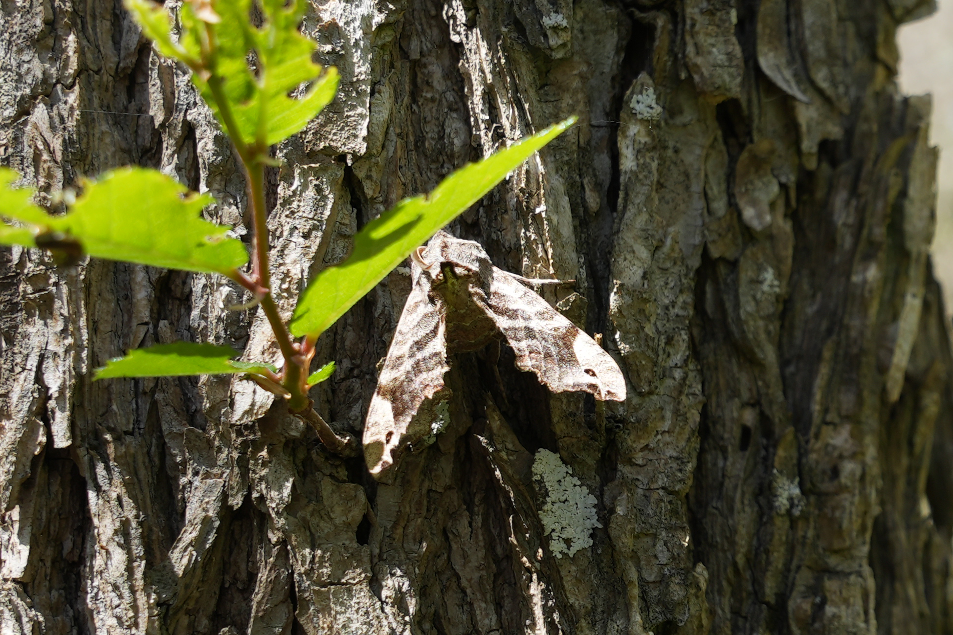
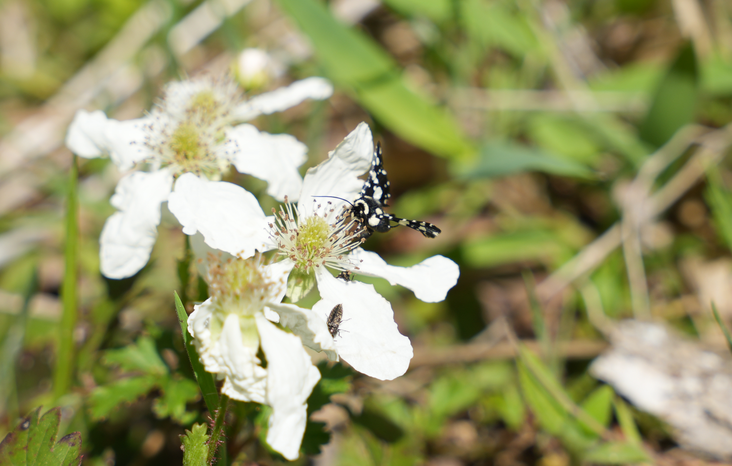
I think I found the moth that the Armyworms turn into!
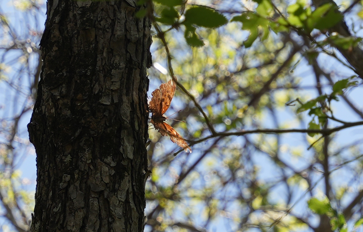
I saw some other post-caterpillar forms as well.
Common Buckeye (Junonia coenia)
Goatweed Leafwing (Anaea andria)
After breaking through the initial field of unsuspecting insects, I eventually happened upon a sign that gave the option to diverge onto the Meadow Loop trail, but I thought, “I’ve had such a great experience thus far, why would I change?”, so I veered right and continued on the Dragonfly Trail.
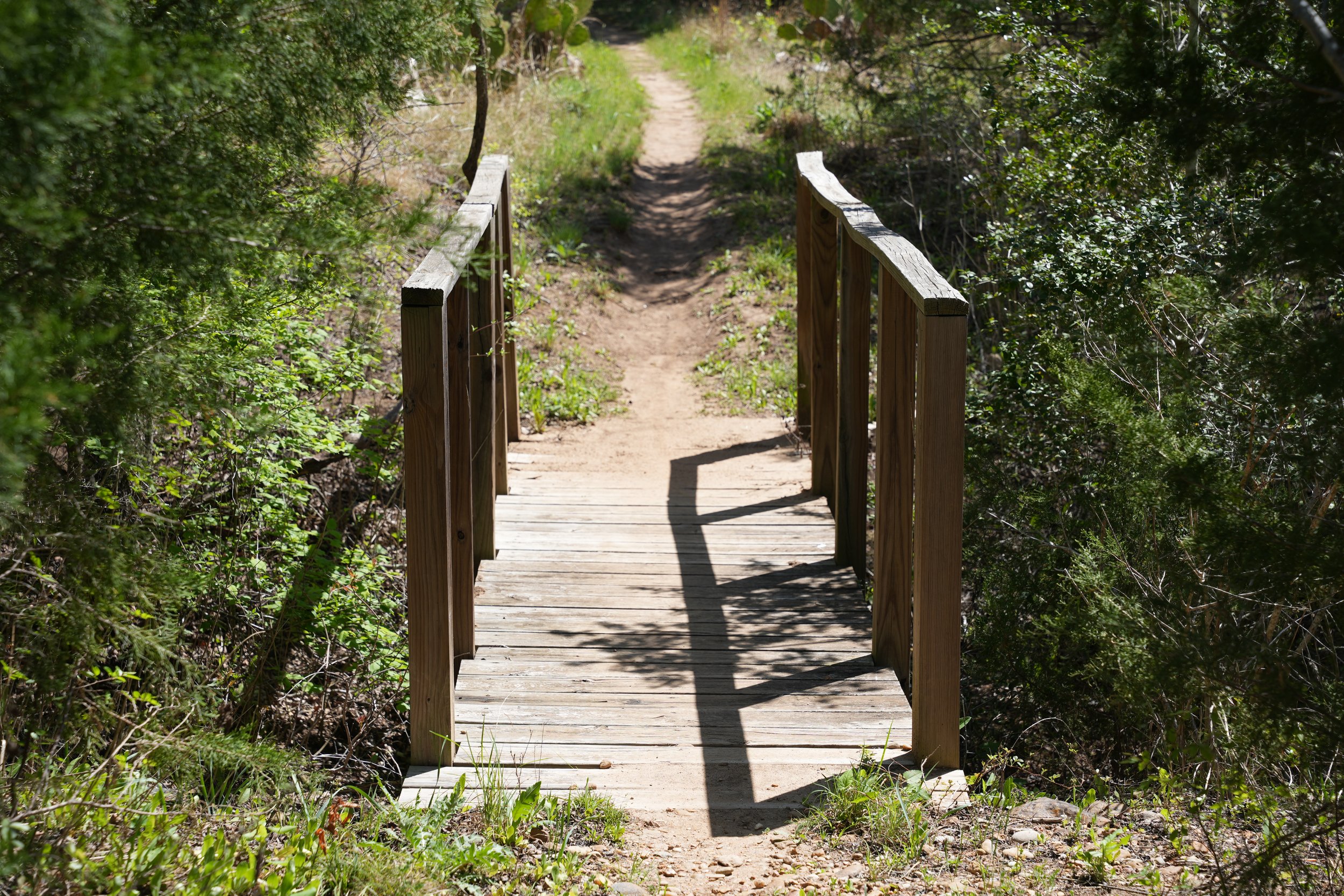
There were also some structures that I wasn’t expecting to find, like these bridges.
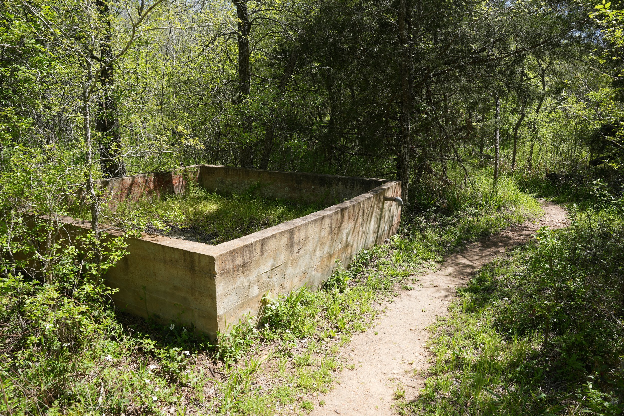
But also this strange rectangle of concrete.
Whatever it is, it can be drained. It kind of reminds me of the kiddie pool in my childhood town.
That pool also never contained any water.
This must be the more natural swimming option (found just down the trail from the “kiddie pool”).
Keep walking and you’ll find the “deep end”.
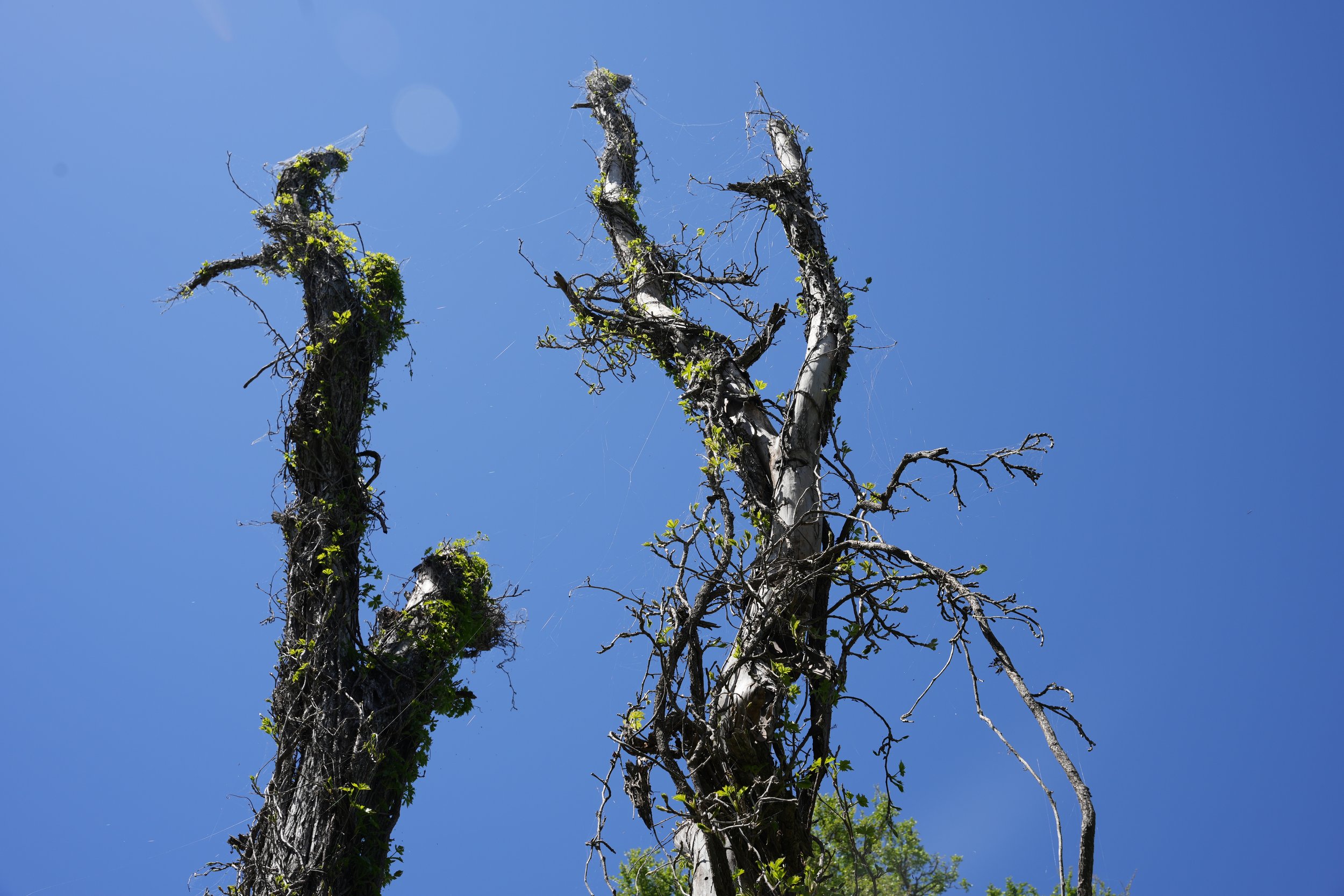
The path eventually cleared into an enjoyable walk and came across this particular tree that really stood out to me. In fact, there are several very interesting and numerous trees to admire.
Here’s a party that I wasn’t invited to and I’m not mad about it.
I learned that the Yellow-Striped Armyworm is also sometimes referred to as a Tent Caterpillar and these are its webs, which look kind of like tents.
If you were not aware, the sun is very fond of Texas (it’s downright clingy, really).
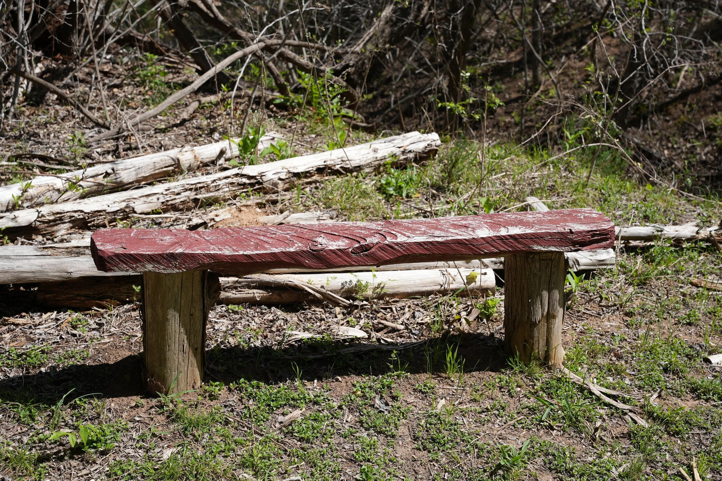
Here’s a well placed bench for you to rest directly beneath the sun if you’d like.
Near the bench and along the way you will come to several clearings with flowers here and there, most of which host visitors all day long.
Assassin Bug on a Spiderwort
Unidentified butterfly on Thimbleweed
A bee pollinating a Texas Baby Blue Eyes flower
Indian Paintbrush
Large Buttercup
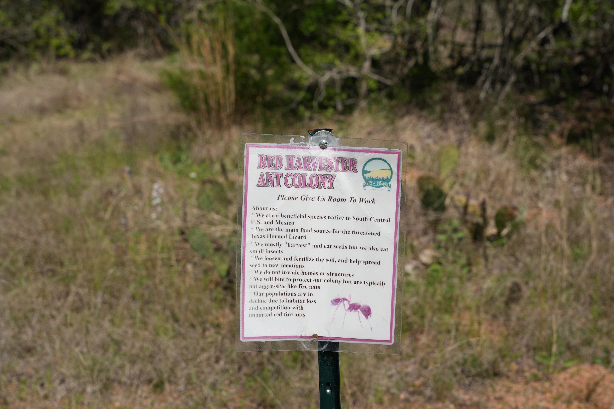
You might also find several Red Harvester Ant Colonies.
Red Harvester Ants
One of these clearings is my favorite part of the Dragonfly Trail - the cactus clearing!
I’m not sure why I’m so fond of cacti, maybe it’s because I’m from the Northwest and they don’t grow up there, but I remember even as a child being pretty enthralled with the idea of a dangerous, spiny plant. Speaking of dangerous, if you feel the need to touch, aim for the green part.
I’m also very fond of Agave plants, because Mezcal Margaritas are delicious.
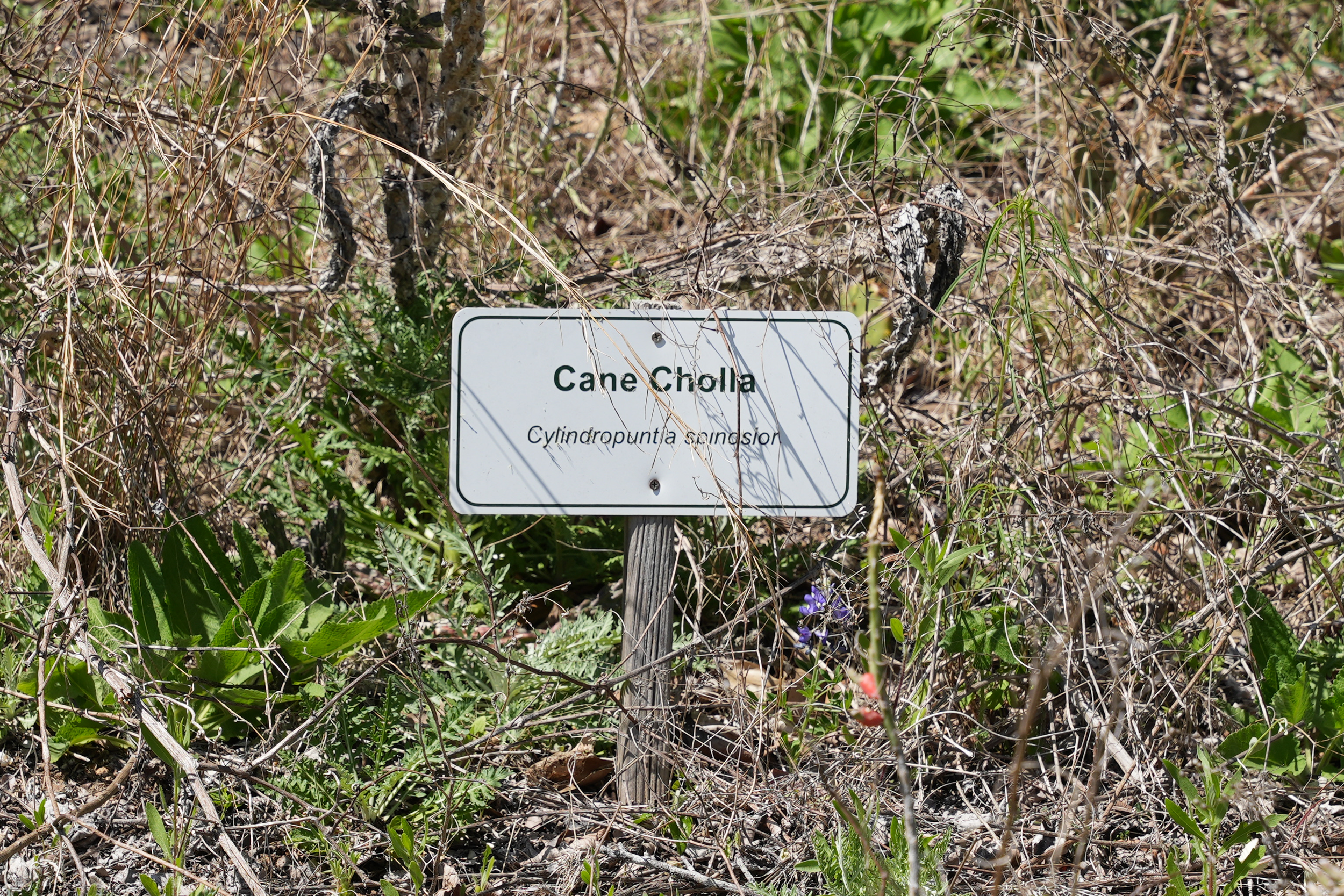
The Cane Cholla was not around for this picture
Looks like it’s the “end of the century” if you know what I mean.
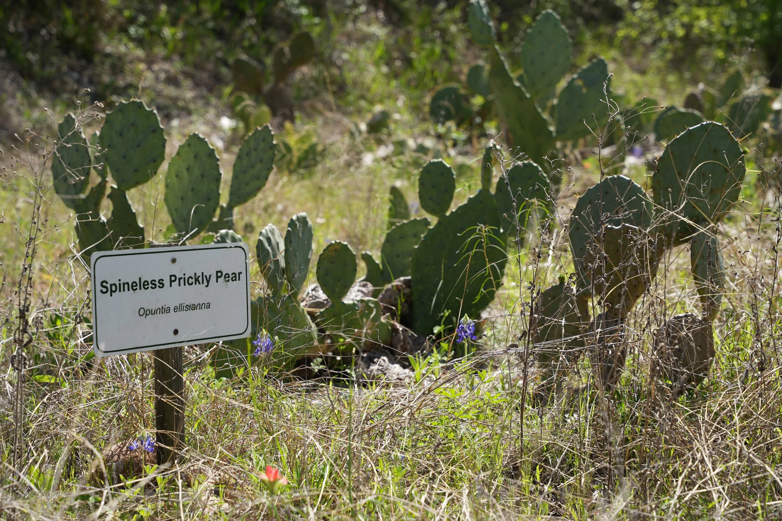
I think they put the Spineless Prickly Pear out, off of the trail, because they knew you’d be more likely to touch it.
Is it any surprise that the “Harvard Agave” was too good to show up?
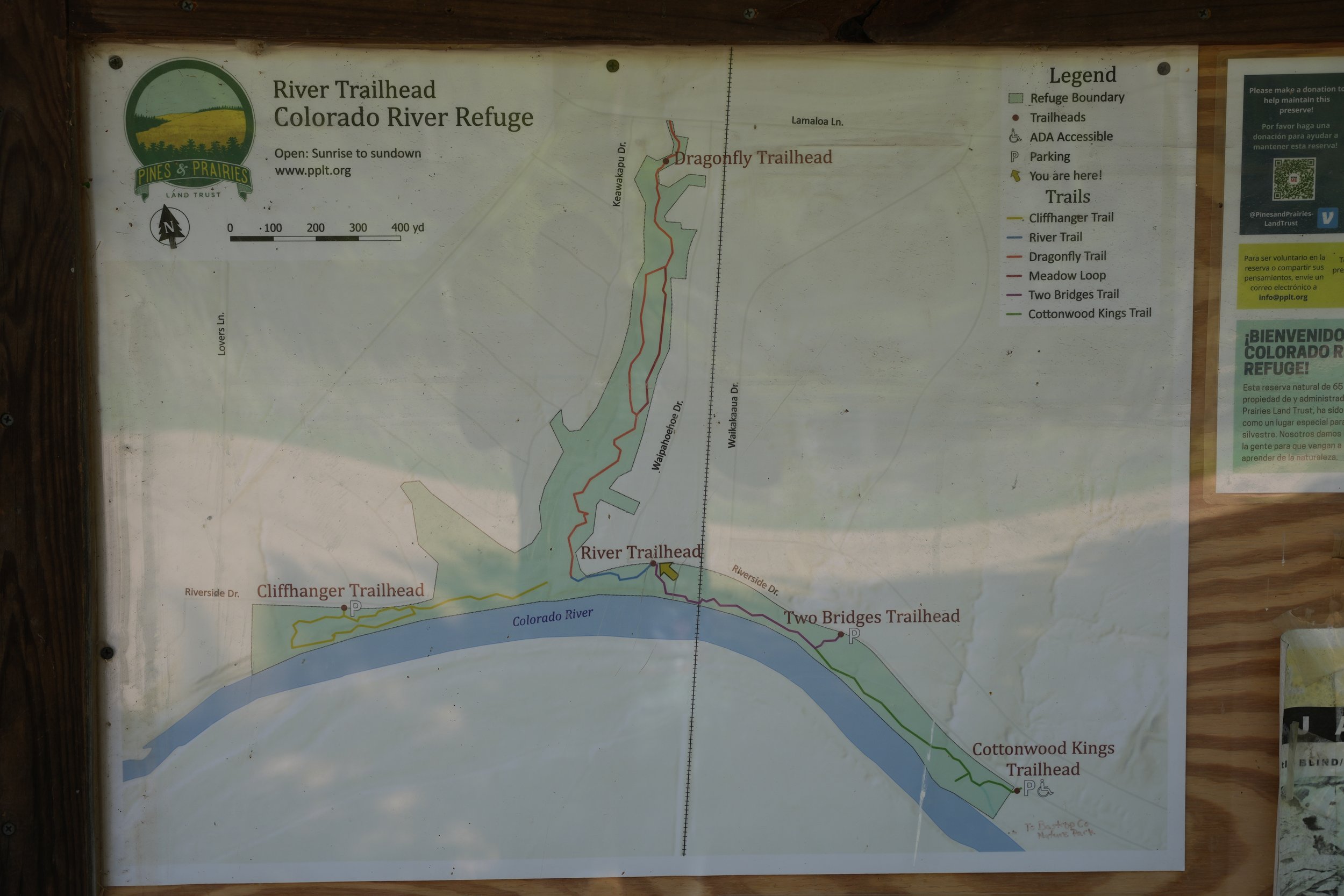
If you survive the eventful 0.7 miles of the Dragonfly Trail, you will find yourself at the River Trailhead junction.
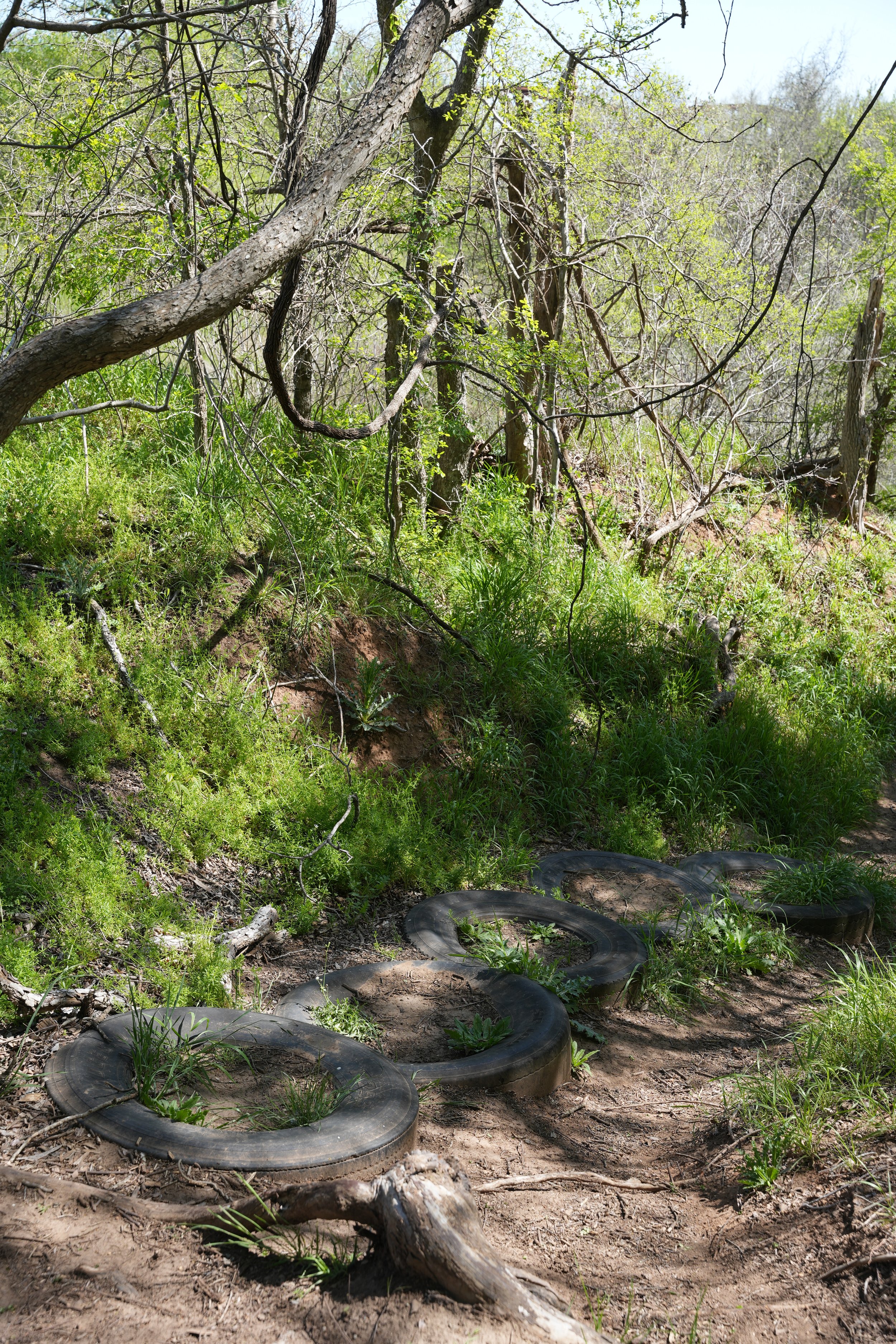
You’ll see some fun tires leading you down towards the Colorado River along with some other thoughtful human-made steps to help ease the steep decline.
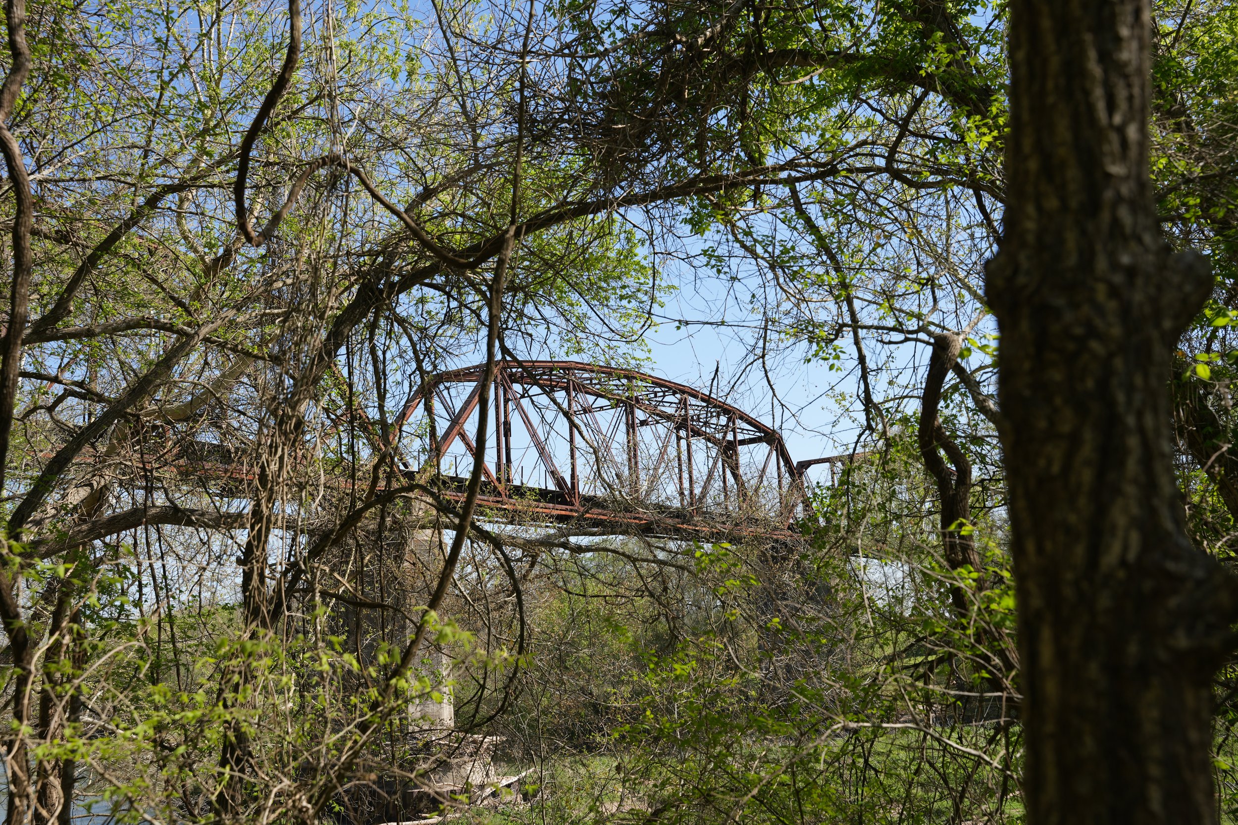
At the bottom, down by the river, you will find a trail sign and if you look to the left, you will see the familiar and well-known train trestle featured in my last blog.
Before I started this, I intended to explore the Cliffhanger trail, so I went right.
There were plenty of turtles jumping off the logs as soon as they were aware of my presence, except for this one who wasn’t going to have his sunning session disturbed.
Later on down the trail, I heard a sound coming from across the water. It sounded like an animal laughing. I couldn’t figure out what it was and I couldn’t see anything on the other side of the river.
I found a rest area where I could get a better look and as soon as I approached the edge, the sound ceased. I waited…as soon as I turned my back to continue on the trail, the laughing began immediately.
So I turned again toward the river to watch and listen - the only culprits that have already shown to be eerily aware of my presence were…
THE TURTLES! It was the wee turtles!
Texas River Cooters
I was sure of it. But after I made it home and googled “do turtles laugh”, I came up with nothing. I went down a long rabbit hole of internet searches and found no evidence that any turtles make this noise. I have no idea what that laughing sound was and if you have any idea, I’d love to know.
After clearly losing my sanity, I found a sign that didn’t seem very helpful, perhaps its intent is to remind you where you are and where you will be, so long as you stay on the trail, no matter which direction you choose.
This also is, apparently, Cliffhanger Trail. Everything out here is on Cliffhanger Trail.
Except for this, which is Baja Cliffhanger trail. With a name like that, I couldn’t resist.
To be honest, I’m not exactly sure what “baja” means, but it seems to have something to do with dune buggies, sand, and that random off-shoot of Mountain Dew found exclusively at Taco Bell when I was a teenager - Baja Blast.
The trail is not as well kept as the main trail, but it did have a couple pretty white flowers that bloom from nettle-like plants known as White Prickly Poppies (Argemone albiflora) and a whole bunch of these Texas Baby Blues Eyes.
There are plenty more thistle-like plants that resemble the leaves found on the Prickly Poppies that will supposedly bloom in April. I’m not sure if these are Prickly Poppies or not. Maybe I’ll have to come back later in the month and observe the flowers that will grow from these buds.
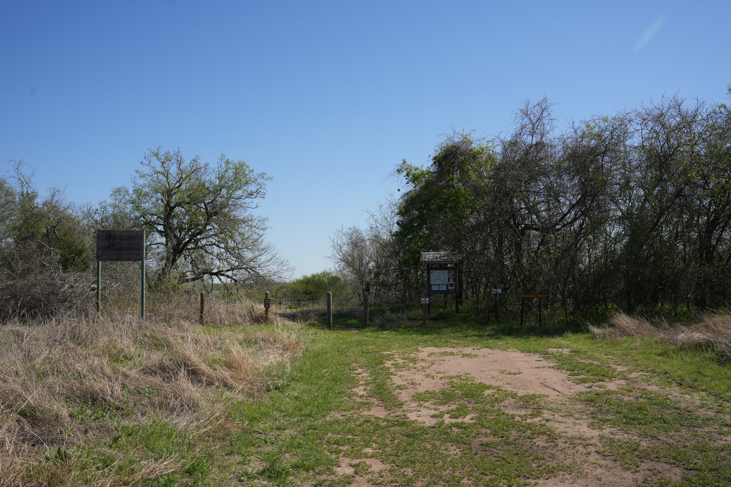
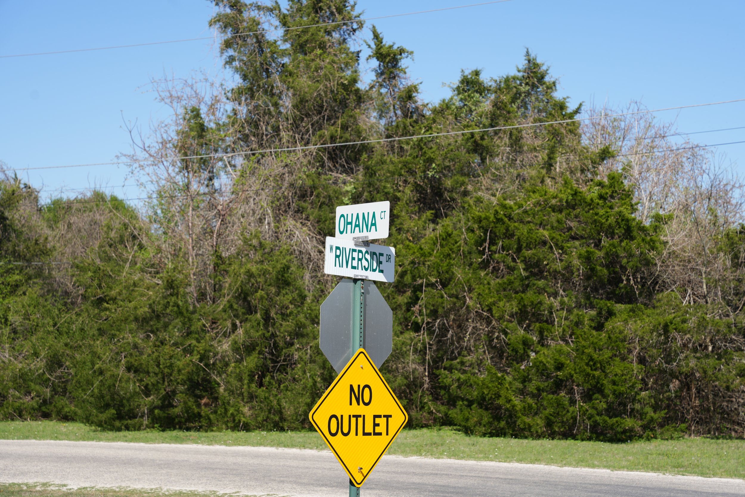
The Baja Cliffhanger Trail loops back up to the Cliffhanger Trailhead. If you want to begin here, it can be found at the intersection of Ohana and Riverside - there is parking available.
